3 Nights 4 Days
3
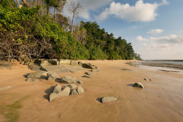
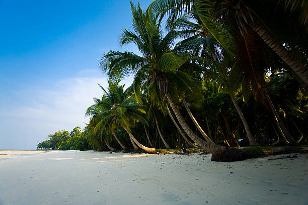
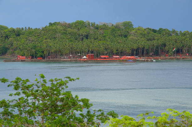
Dooars
.jpeg)
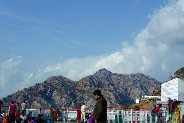
Buxa Tiger Reserve lies in the north-east corner of West Bengal and is contiguous with the forests of Greater Manas Sanctuary, the buffer zone of Manas Tiger Reserve of Assam, and other Reserve Forest areas along the Indo-Bhutanese border. Most of the reserve lies in the plains; only the northern tracts are hilly and the northern boundary follows the Bhutan border. There is continuous forest from the plains to nearly 2,000 m at the border, and forest cover probably continues to the 4,066 m Tale La in Bhutan.
Special features: This trek route is through the Reserve forest in Indian part of Bhutan Himalaya which helps you to understand the Birds, insects, plants, History, Culture, Buddhism and Wilderness.Santrabari or Santalabari, named after the Santola (Orange), is a weekly market (on Tuesday only) for exchanging and purchasing goods the local communities of Hills and foot hills. Buxa Fort still bears the witness of Indian Freedom movement in Pagsamkha or Buxa (Baksha) where the Heritage Post Office located on the highest point of Dooars. Lapchakha is the most beautiful village in Dooars also known Paradise of Dooars. Tashigang being a small village is placed in the International Bird Network list for its Bird population. Rovers’ Point and Rupang valley is already a popular trekking route to the Trekkers not only for the Panoramic view but also indifferent flora and fauna of Himalaya.
Duration: 4N 5D (34 Km)
Trek Grade: Hard
Nearest Vehicle Transit: Santrabari
ATM: N/A
Coordinates:
|
Place |
Altitude |
Latitude |
Long |
Features |
Time |
Gradient |
|
Santrabari |
1243 ft |
26°73’735” |
89°56’642” |
Bus stand, Forest Office, Weekly market, |
00.00 |
Steep uphill |
|
Buxa Fort |
2087 ft. |
N 26°45’296” |
89°34’828” |
Mobile network, home stay, food stall, SSB Post, heritage Post Office, Museum and Historical Buxa fort, 5km |
1.15 min. |
Up hill |
|
Tasigang |
3044 |
26°45’855” |
89°35’219” |
Last village on route, Food stall, Water point, 2 km |
1.15 min |
Steep Up hill |
|
Rovers’ Point |
4254 |
26°46’332” |
89°35’246” |
Locally known as Romiteydara, view point, 5 km |
2hr37min |
Steep up hill |
|
Oumchupani |
5061 |
26°78’765” |
89°57’918” |
Dukpa Goth, water point, 2 km |
1.5 hr |
Up hill |
|
Rupang Valley |
5231 |
26°78’709” |
89°59’506” |
Valley, border of Bhutan 1.5 km |
30 min |
Up n down Hill |
Accommodation: Forest Rest house, Dormitory, Homestays
Restaurant: - Santrabari, Buxa Fort Ground, Lapchakha
Health service: Not available
Check Post: SSB. & Forest
Cellular network: Available
Best Season: Excluding rainy season
Port Blair 1N, Havelock 1N , Port Blair 1N
Port Blair 2N, Havelock 1N
Port Blair 1N, Havelock 2N, Port Blair 1N
Port Blair 1N, Havelock 2N, Neil Island 1N, Port Blair 1N
Port Blair 2N, Havelock 2N, Port Blair 1N
Port Blair 2N, Havelock 1N, Neil Island 1N, Port Blair 1N
Port Blair 2N, Havelock 2N, Neil Island 1N, Port Blair 1N
Port Blair 3N, Havelock 2N, Port Blair 1N
Port Blair 2N, Havelock 2N, Neil Island 1N, Port Blair 2N
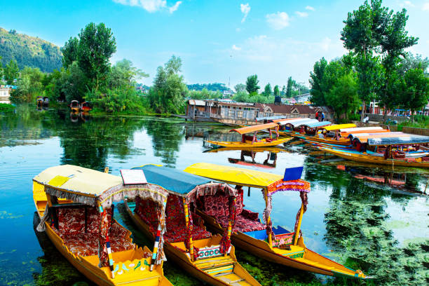
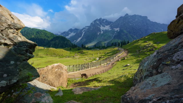
Srinagar 2N, Pahalgam 1N, Gulmarg 1N, Srinagar Houseboat 1N
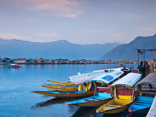
Gulmarg 1N, Srinagar 2N, Srinagar Houseboat 1N
Pahalgam 1N, Srinagar 2N, Srinagar Houseboat 1N

Sonmarg 1N, Srinagar 2N, Pahalgam 2N, Gulmarg 2N
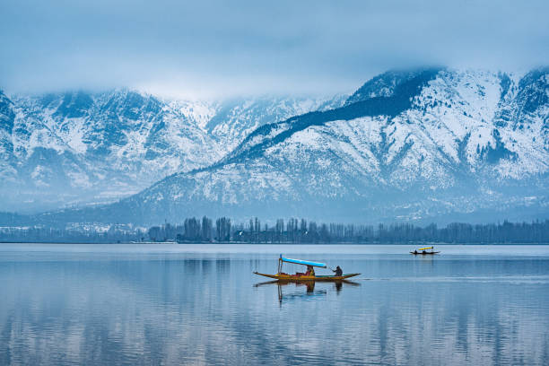
Srinagar 3N, Srinagar Houseboat 1N
Pahalgam 1N, Gulmarg 1N, Srinagar 1N, Srinagar Houseboat 1N
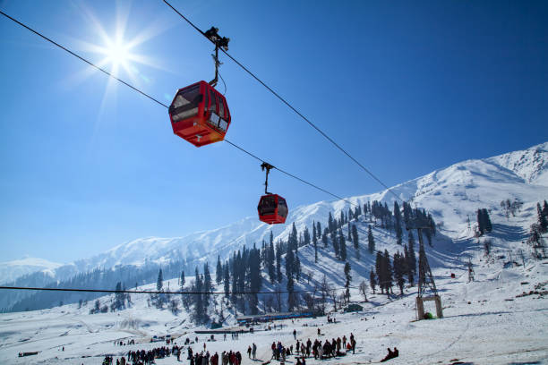
Gulmarg 1N, Pahalgam 1N, Srinagar 2N, Srinagar Houseboat 1N
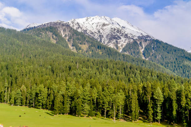
Gulmarg 1N, Pahalgam 2N, Srinagar 1N, Srinagar Houseboat 1N
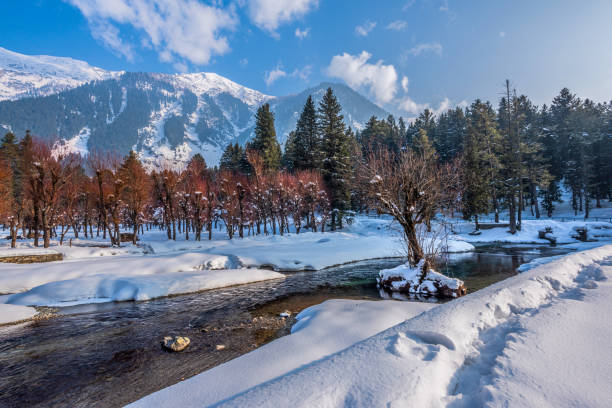
Pahalgam 2N, Gulmarg 1N, Sonmarg 1N, Srinagar 1N, Srinagar Houseboat 1N
Katra 2N, Pahagam 2N, Gulmar 1N, Srinagar 1N, Srinagar Houseboat 1N
Srinagar 1N, Pahalgam 2N, Gulmarg 2N, Sonmarg 2N, Srinagar Houseboat 1N
Katra 1N,Srinagar 1N, Gulmarg 1N, Pahalgam 1N
Katra 1N, Pahalgam 2N,Gulmarg 1N, Srinagar 1N

Copyright © 2024 All Rights Reserved | Powered by Tedviser